Operational technologies
Actionable data & alerts for real-time situational awareness, operations & maintenance

Empower proactive decisions that lessen risk & damage
From hail, rainfall and water flow forecasts to real-time observations of severe weather and flood risks, KISTERS operational technologies keep on-duty teams aware of emerging and ongoing dangers to continuous operations.
Our IT innovations bridge the satellite imagery with your agency’s ground-based monitoring network. These software options are readily available in web browsers, ensuring that individuals and teams are able to easily access & view meaningful raster data animations in addition to meaningful insights on an interactive map and dashboards.
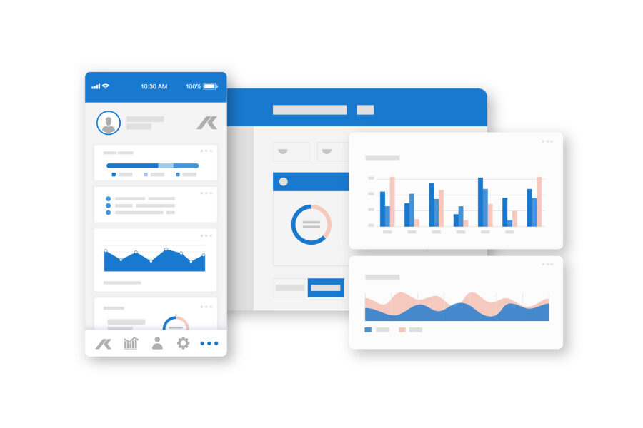
Users can define group and personal dashboards as well as conditions for alarms / alerts. Notifications identify users to developing concerns like extreme storms or when data fails to be transmitted.
Alternatively, forecast and observed data can fuel post-event analyses. APIs can export the data for integration with long-term data management systems like WISKI.
Your benefits
How it works
Whether your goal is flood forecasting and control or hail damage mitigation or prevention, we’ll inform & support you every step of the way.
Product features
Cloud solutions that prioritize uptime & time-sensitive needs

Cloud solutions that prioritize uptime & time-sensitive needs
Users of forecast & real-time data need a faster, more efficient IT ecosystem to maximize lead time and decision-making as operational threats emerge and unfold.
To give you the best possible functionality and data value at a reasonable price, our operational technologies have been deliberately designed to bear the burden of resource-intensive IT infrastructure, maintenance and costs of ownership.
Intuitive & simple web applications

Intuitive & simple web applications
No app download required; all you need is a web browser and login credentials.
From anywhere with Wi-fi, view data from your continuous monitoring network, data sharing partners, and integrated data services on a map or as dashboards, charts and graphs.
Integrate web cameras and with a click, confirm real-time data values with images / video footage of monitoring sites.
Your web experience is intuitive, and even user-defined, belying the computing power required to import, process and distribute the growing amount of commercial and open remote sensing data.
Customize features to maximize data understanding

Customize features to maximize data understanding
From dashboards to alarms, customizing features in our operational technologies helps your teams to maximize the information they see, understand – and use.
Alert settings define the conditions necessary for alerts; areas of interest such as catchments or particular hotspots of nuisance flooding; the distribution channels; and the message templates with links to relevant data.
Dashboard settings enable groups of users to reference the same indicators, while individual users may create and edit additional dashboards to meet their own needs.
Integrate all makes & models of sensors

Integrate all makes & models of sensors
Over the past 60 years our company has been designing and manufacturing professional-grade hydromet instruments. Our sensor product portfolio now offers innovations that monitor rain, snow and hail as well as water flow & water level.
Whether you want to view continuous data collected by one of our sensors or that of another manufacturer, as an IT company KISTERS ensures a seamless delivery of information data visualization, analysis and decision support.
For example, directly import from the FTS360 cloud or get database-ready file formats from SonTek’s FlowTracker2 ADV.
Increase user flexibility & data security

Increase user flexibility & data security
Our operational technologies give users significant flexibility, but a designated local administrator(s) still defines who the users are and the level of access / functionality of each user.
Every user is assigned a login combination and audit trails are maintained.


